
Google Street View Guide
Please note that this only works on the Google Maps page, not currently on any of the Visit Penistone pages.
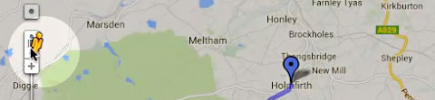
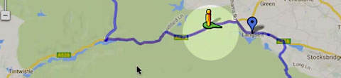
Positioning - 1
As you drag the pegman, solid blue lines appear on roads you can view. The blue boxes are generally off-road phots and views.
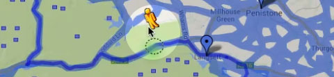
Positioning - 2
Release the pegman. The green directional disc momentarily appears and then the Street View launches.
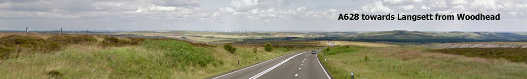
Viewing the scenes
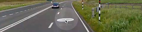
Drag inside the Street View to look around. To go to the next point, let the cursor hover on the road until a white circle appears. Click on this to advance a few yards.
Splitting the screen - 1

View both Street View and traditional map by clicking on the small arrow in the box on the bottom right.
Splitting the screen - 2
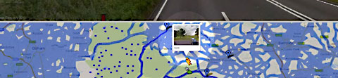
Street View is now at the top with a map at the bottom. Grab the pegman and drop him where you want to go.
Exit split screen

To go back to just the Street View, click the arrow at the very bottom right of the map. This can be a bit tricky and doesn't work on all browsers. If this is the case, try refreshing the page.
Enter/exit full screen

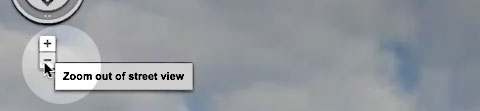
You can make Street View fill your screen by clicking the icon at the top right of the page. You can go back to normal view by clicking the same icon or pressing Esc on your keyboard.
Change the base map

You can change the map to Satellite View and back again by clicking the picture link at the bottom right. A terrain map can be called by clicking "Terrain" just below the Satllite View link.
Other info markers
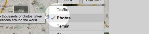
Below the terrain link is a list of other options such as Photos, Traffic and Weather. These don't work in the split view mode but can be called when in the normal map view. (The links are at the top right in this mode.)

Main Visit Penistone website - links and information
![]() Penistone is proud to be Fairtrade Town, accredited February 2007 by the Fairtrade Foundation. You can find a directory of shops, cafes and traders where you can purchase Fairtrade Goods on their web site here: www.fairtradeinpenistone.btik.com
Penistone is proud to be Fairtrade Town, accredited February 2007 by the Fairtrade Foundation. You can find a directory of shops, cafes and traders where you can purchase Fairtrade Goods on their web site here: www.fairtradeinpenistone.btik.com